Chiricahua National Monument
After Pinery Canyon we went back to Wilcox for chores—water, propane, groceries. Ate breakfast at a place called The Plaza Restaurant. We went hoping the food was ok. We lucked out and the food was spectacularly delicious. This cook knew how to make the best Huevos Rancheros I have ever had. The grilled onions added to the ranchero sauce really made it special. Also, the tortillas on the bottom were crispy instead of limp—que rico!!
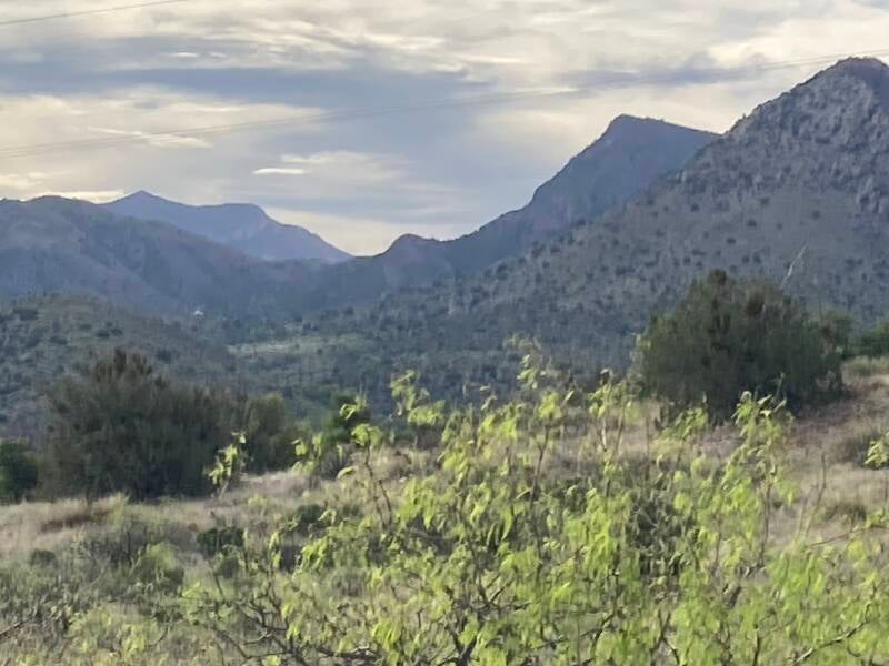
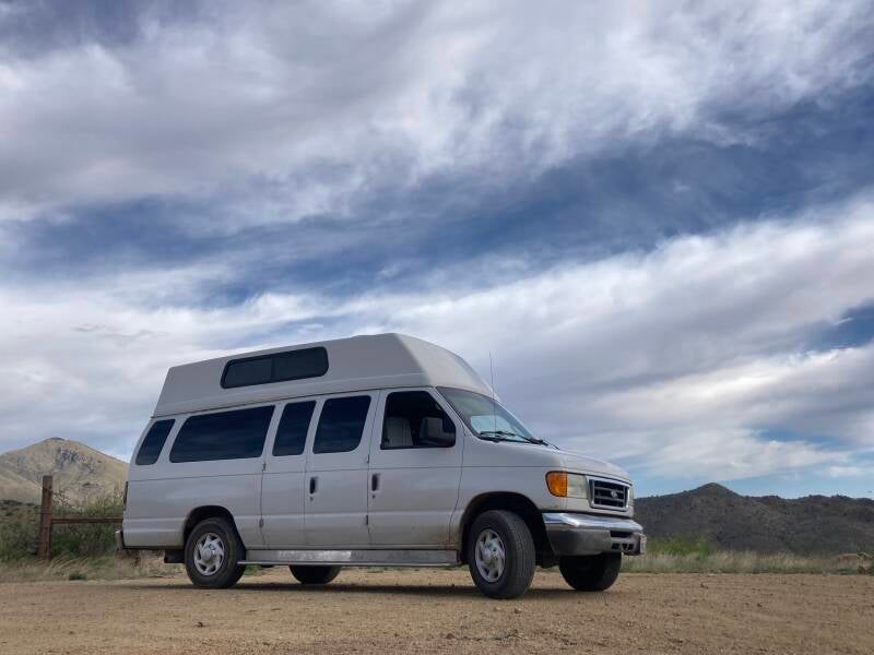
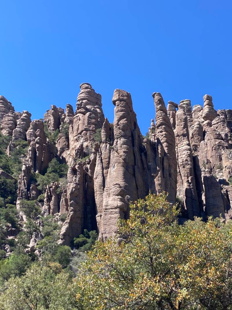
In the afternoon we drove into the Chiricahua National Monument and toured around enjoying the spectacular rock formations caused by a very old lava flow and the weathering of the resulting pumice into blocks and spires. The campground was still full. Afterward we drove out to the Ft. Bowie ruins. We disperse camped for one night within about 1/2 mile of the trailhead. Great camping spot on top of a hill with a looooong view to the valley below. To get to Ft. Bowie ruins, you have to take a hilly 1 1/2 mile hike up into a mountain bowl. We decided to forego the hike, but got good views of the fort with our binoculars from our camping spot.
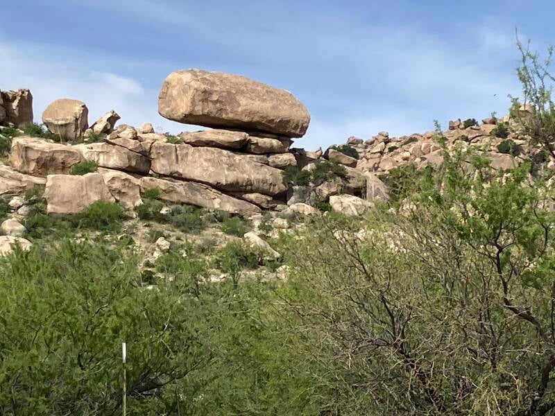
The next morning, we drove down toward the small town of Bowie, which is along I-10. On the way, there is a dirt road turn off out to Indian Bread Rocks. We drove out to see what was down there, having heard that it was a great dispersed camping spot. The rocks are pretty interesting, but I saw only one small tree in the camp area. We drove through, then onward. Our goal was Safford, AZ, north of Wilcox, and some mountain campgrounds near there. Since the turn off to Safford was only 13 miles before Wilcox, we went there first for another breakfast at the Plaza Restaurant (we are food motivated). I ordered the Huevos Rancheros again and they were just as delicious as the morning before.
Outside Safford, there is a state park named Roper Lake. I was interested in it because they have SHOWERS!! We got a campsite and walked over to the shower building. It was a great, clean shower, except you had to keep pushing the button to keep the water happening. Eventually I just held the button in and washed my hair one-handed. It was pretty warm in Safford—about 87 degrees—so after our showers we were sitting around, wilting from the heat, and decided to take a drive up the nearby Mt. Graham and check out campgrounds up there for future nights. I believe that Mt. Graham is the largest “sky-island” in the state. It was snow-capped in mid-April. Elevations at campgrounds on the mountain were between 7,000 and 9,000 feet—it HAD to be cooler than at Roper Lake. The road up there was paved, but climbed very quickly with switchback after switchback. The original roadway and the campgrounds had been built by the CCC (Civilian Conservation Corp) in the 30s as a way to bring work during the Depression to multitudes of unemployed Americans. The CCC built many national park amenities, such as at Mesa Verde, Yosemite, and retaining walls along the Big Sur highway.
The drive was beautiful and invigorating. We didn’t like the campground we were looking for. It was back in a canyon and dark, but we found a little dispersed camp spot with an open view of the valley below and hung out there for a while until the coming sunset indicated that it would be starting to cool down in Safford. This little campground ( 3 campsites and a horse corral) is called “Round the Mountain”. As the sun started to go down at Round the Mountain, I was definitely underdressed in my shorts and sleeveless shirt, so we headed back to Roper Lake for the night. There we slept with all the windows wide open and enjoyed the pre-dawn bird activity around the lake. In the morning, we took showers again (who knows when the next one will be) and left Arizona for New Mexico. We had been in southern Arizona for 41 nights, almost a full 6 weeks. We were surprised at the wide variety of habitats we encountered there.